An Age of Accessibility
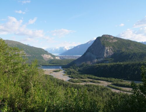
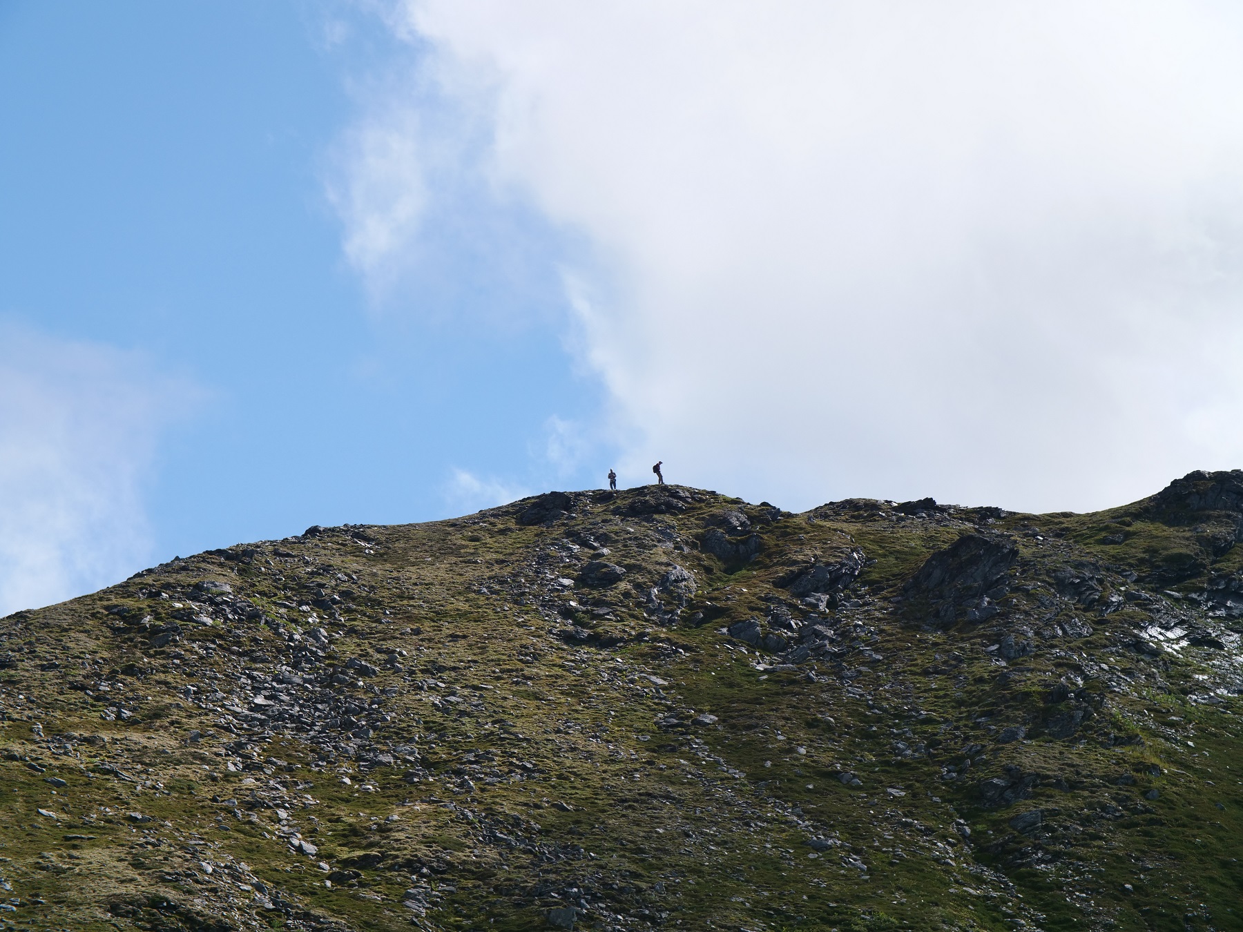
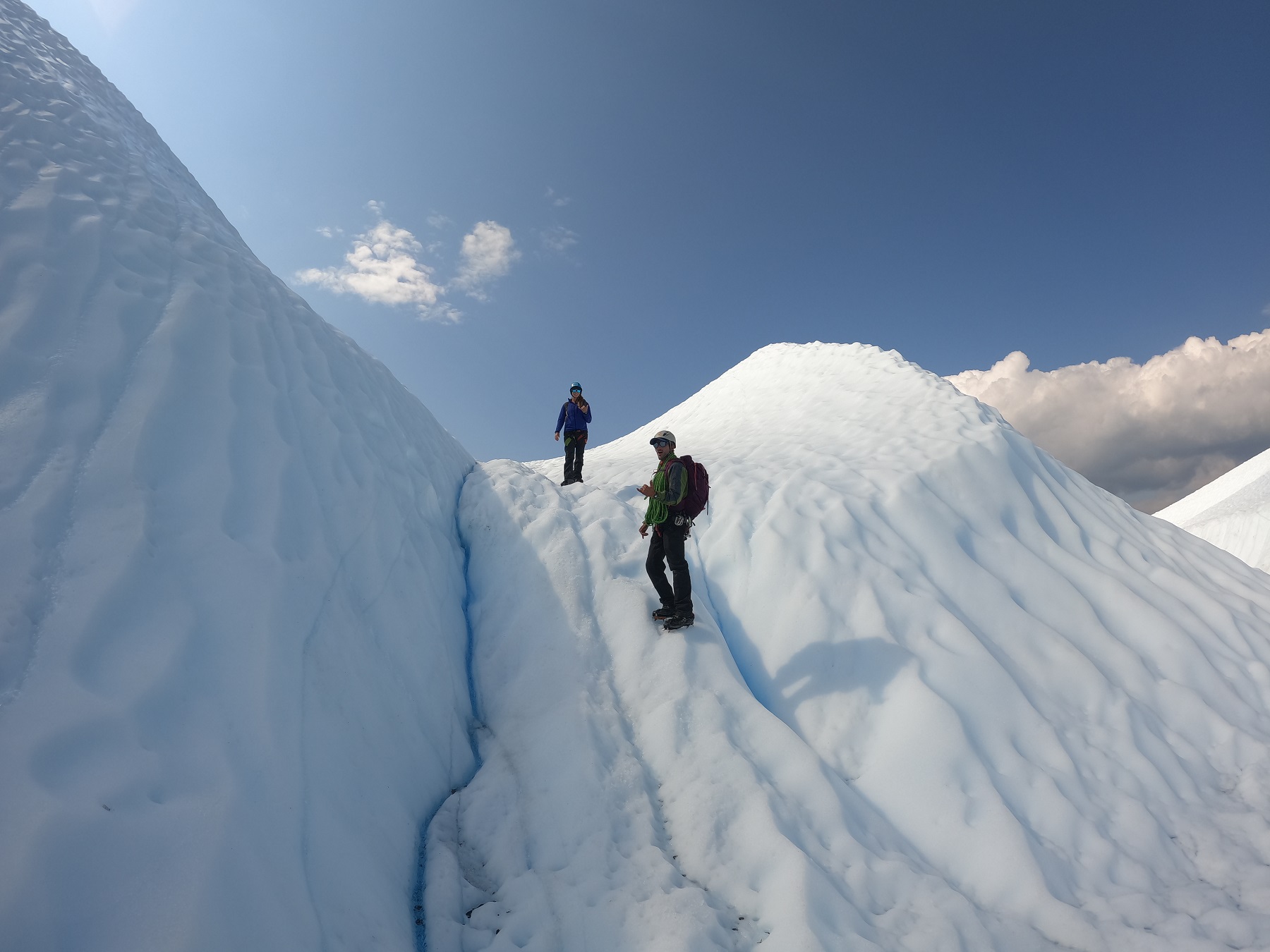
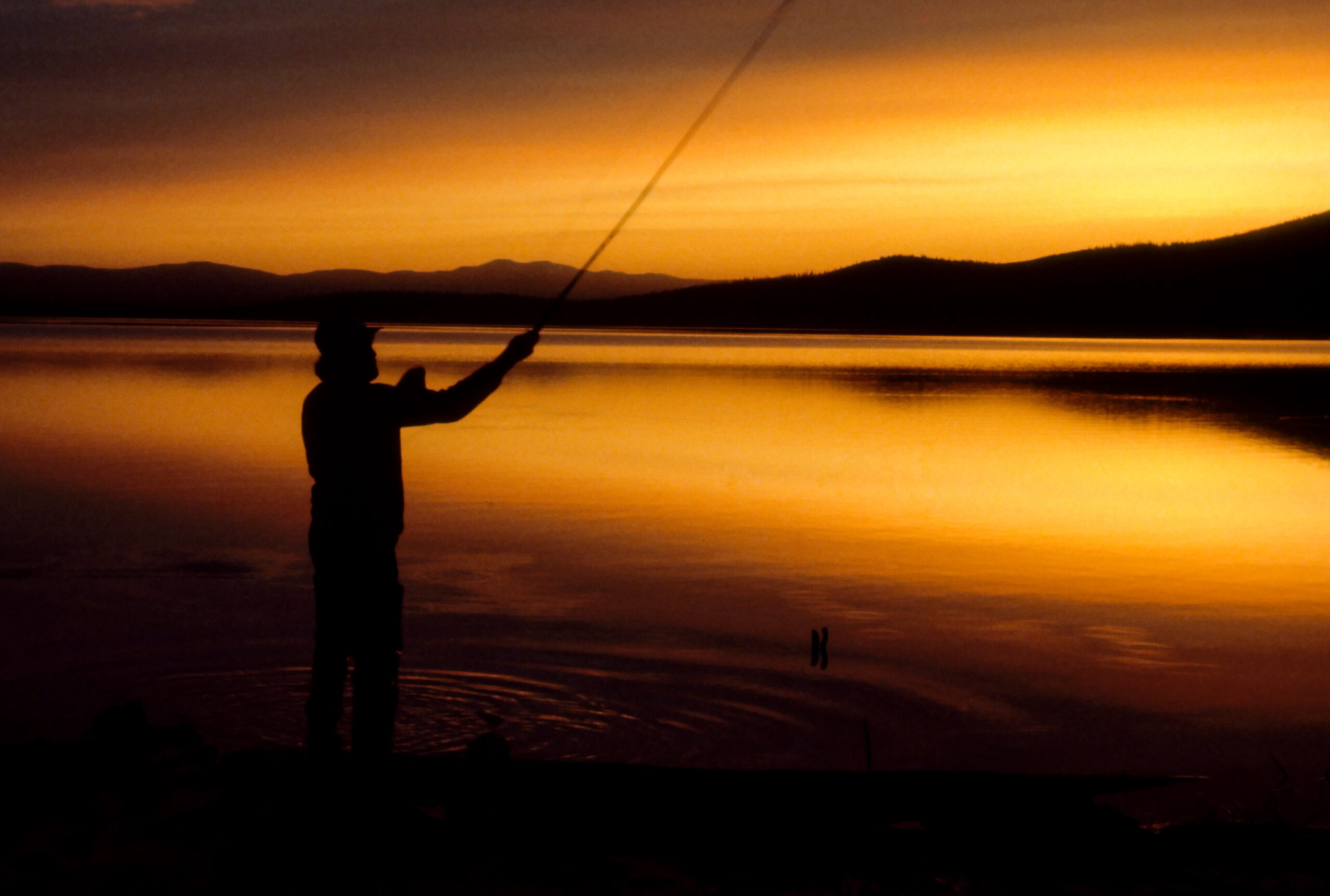
Topographic maps are an essential piece of backcountry equipment that everyone should bring along with them. Especially in areas without established trails. Paired with an orienteering compass and the right skills and knowledge, good topo maps are invaluable in any terrain.
Decades ago, the U.S. government took on the enormous task of surveying and mapping the entire United States back in the 1950s. Now, we have a wealth of accurate and readily available 1:24000 scale topographic maps. You can order them online or download them, often at little expense, providing more accessibility than ever.
Map Scale
Most topographic maps will contain a scale bar accompanied with a ratio, such as the common 1:24000 used for many maps. This means that 1 inch is equal in length on the map to 24000 inches in reality. Large scale maps show more area, but less detail than small scale maps. Other common scales are 1:100000, 1:250000, or 1:10000000.
Reading Intervals
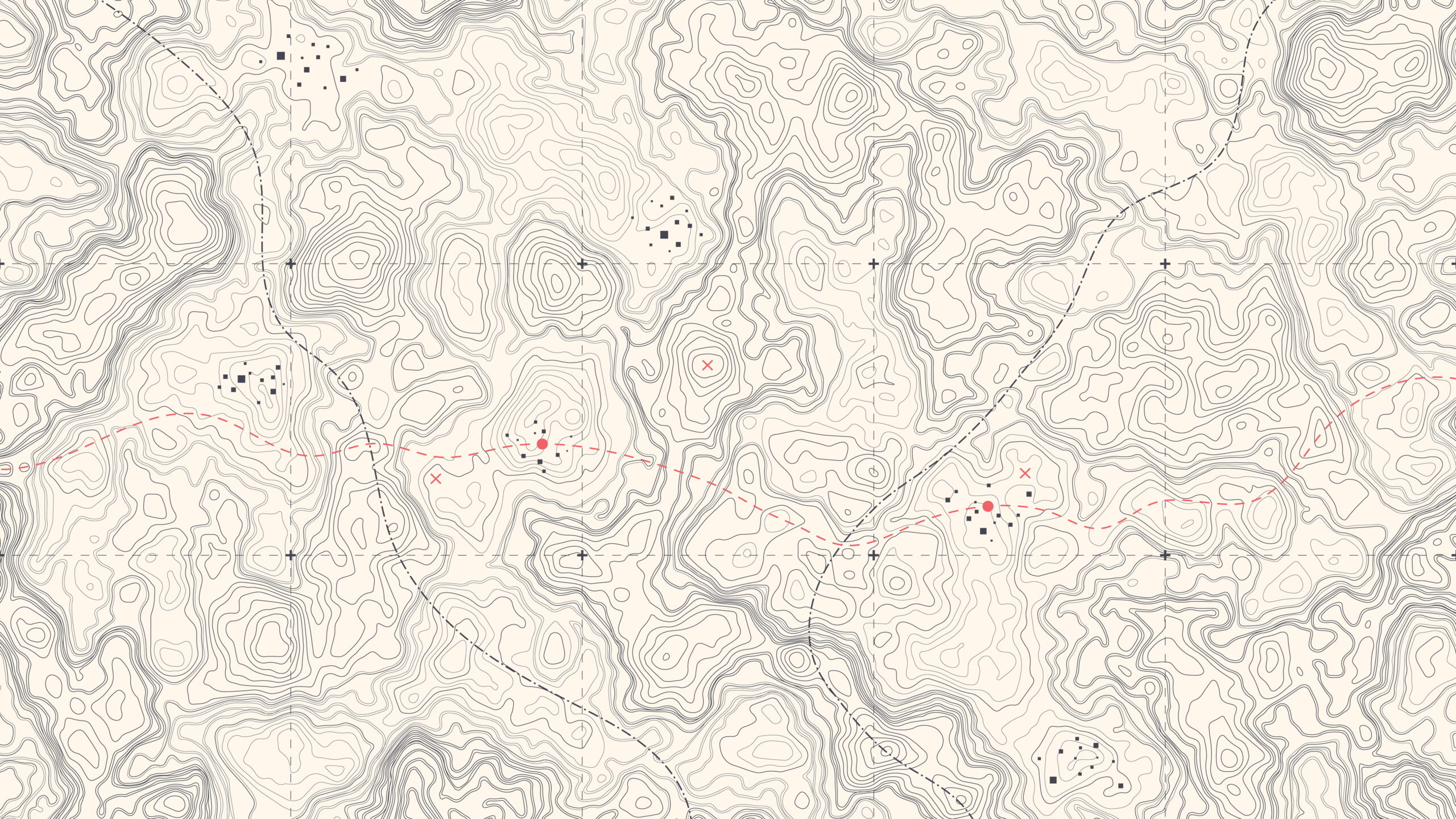
To read topographic maps, you have to understand how contour lines work. Contour lines are essentially points of equal elevation that are connected to form lines. On a map, they never intersect, and are always given an interval. These intervals are shown in the map legend, such as 20ft, 50ft, or 100ft between lines.
In areas that the lines are close together, the terrain is steep, whereas in areas where they are widely spaced the terrain is more gradual. If the contour lines are almost stacked on top of each other, you’re looking at a cliff. There are several unique features that can be discerned using contour lines with a little practice.
Analyzing Landscape Features
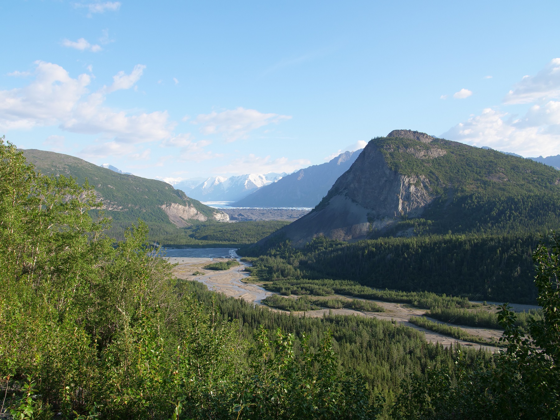
A simple and common example is mountains. These are shown on topo maps as rings of concentric circles that get smaller and smaller, until you arrive at the peak. This shape seems to resemble a jelly bean in the contour line. Saddles between two peaks look like elongated jelly beans, and can often identify passable areas.
Another notable feature easily recognizable on topo maps are rivers and drainage basins. These typically flow on sloped surface surfaces and features of terrain. Especially on steep mountainsides, drainages will show on topo maps as sharp arrows that point in the uphill direction. This is because drainages often cut deep into the mountainside. When the contour passes over it, the line on the map juts inwards to find the point of equal elevation. The same is true for ridges that extend outwards from a mountain.
In this case, the contour lines have to wrap around the ridge in order to find the place of equal elevation. This creates U shaped curves that point downwards. Some of this can be hard to explain without visual aid. I like to remember the awesome 3D map that they have at the Pinham Notch Visitors center at Mt. Washington, New Hampshire. On this map, they painted the contour lines onto the sides of the sculpted mountains. This way you can see how contour lines represent three dimensional features on a two dimensional surface.
Reading Legends
One last point on contour maps, always check out the legend. Map legends, especially USGS topo quads, will often give you vital information about the map. The map legend is a box that contains definitions for features that you might see on the map. For example, you might see a double dotted line and wonder what that means. Consulting the legend will tell you it’s a railroad track, or maybe a snowmobile trail.
One thing that is always good to know is the compass declination that you’ll need to adjust for in the area of the map. This is usually marked either in the legend or in the margins of the map. Of course, the scale bar is always present, and can be a great aid in determining distances on the map. Other general information contained in the legend is the datum used to create the map, the projection of the map, the date it was created, and the date it was revised.
Get Outside
Before concluding, I should mention that none of this information is enough on its own for anyone to go out and be able to navigate in the field accurately. To really get comfortable using topo maps, there is no substitute for practice and experience. Go online and get some maps of an area you are familiar with, go into the field, and try to identify features you can see on the map in front of you. Some outdoor hiking communities offer hands-on classes like REI or local hiking associations that you can sign up for for little to no cost. This is the best way to become familiar with maps.
Author: Mel Geisler
